ONE WARM LINE / THE PLACES
Every mile,
a world.
From the first wagons in Springfield to the far shore at Yerba Buena. Follow the landscapes of the journey—and the long road back to save the families.
Explore the trail atlasFollow the gold for music from the story.
-
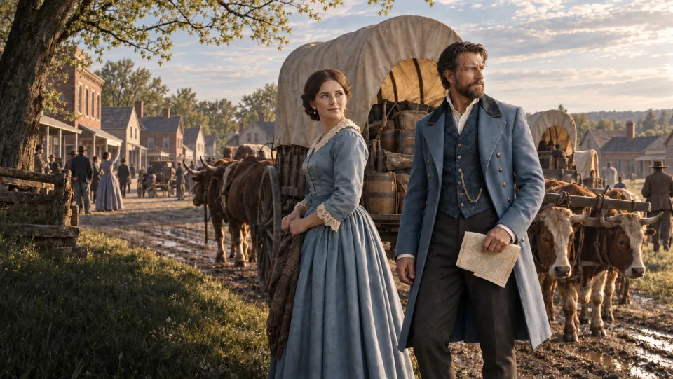
Departure
Springfield, Illinois
Home and departure: the Donner and Reed families began their westward journey here in April 1846.
-
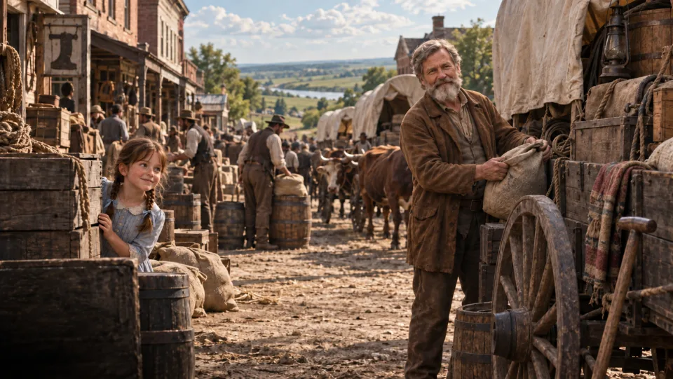 1 song
Outfitting town
Independence, Missouri
Stores, crowded camps, and preparations at the threshold of the overland trail.
-
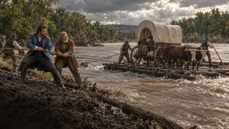
River crossing
The Big Blue River Crossing
High water held the wagons back while the emigrants prepared to ferry them across.
-
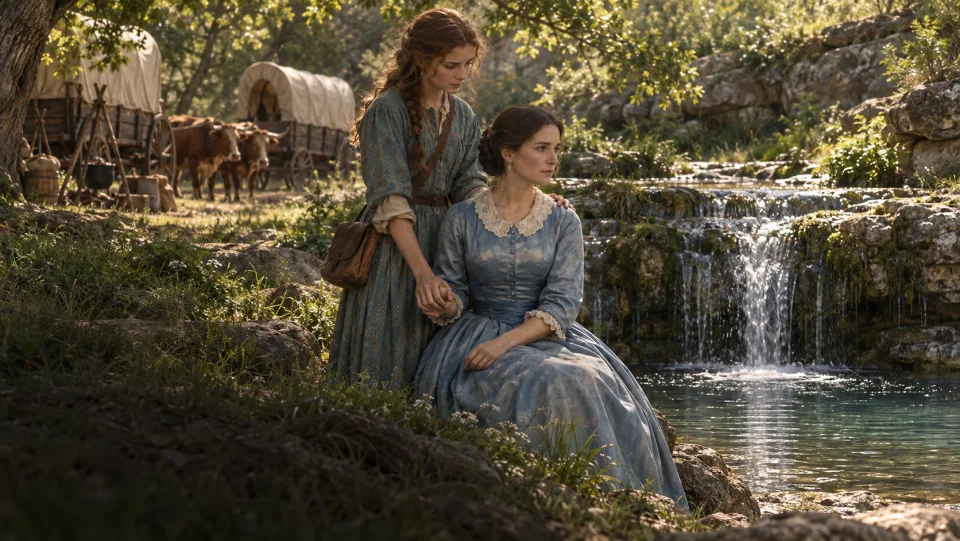
Spring
Alcove Spring
Clear water beneath a rocky ledge, near the burial place of Sarah Keyes, Margaret Reed’s mother.
-
 1 song
River landscape
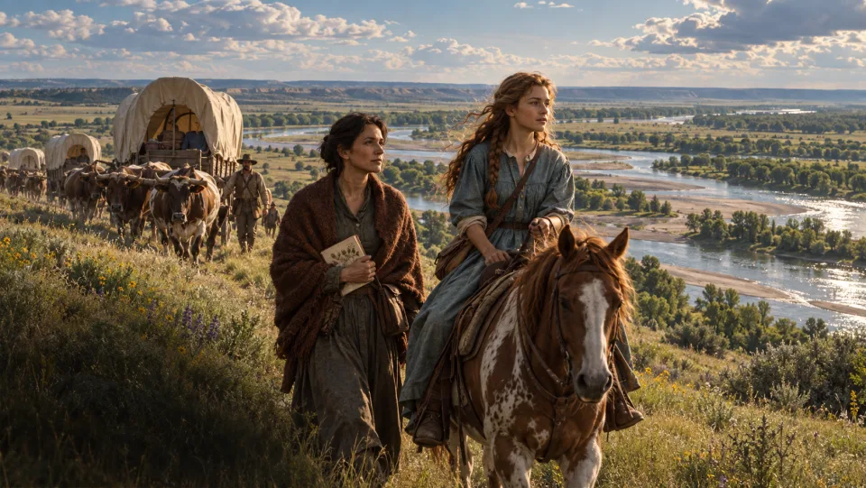
The Platte River Valley
A broad, shallow river threaded the grasslands. The valley became the emigrants’ highway west.
-
 1 song
Living landscape
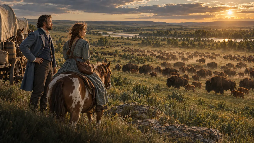
The Buffalo Herds
The emigrants encountered and hunted bison on the plains. Buffalo chips also fueled their campfires.
-
Spring and hollow
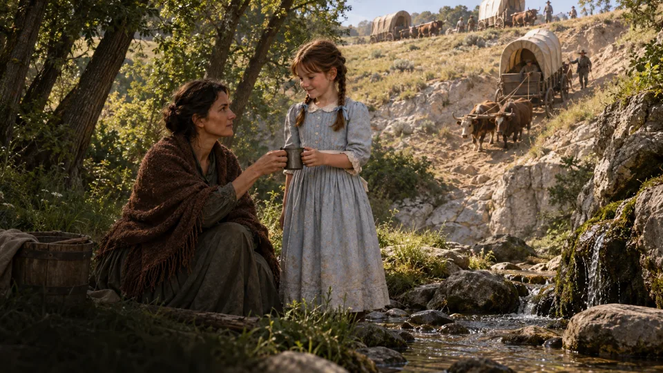
Ash Hollow
A steep descent brought the wagons into a sheltered hollow with trees and refreshing spring water.
-
Rock landmark
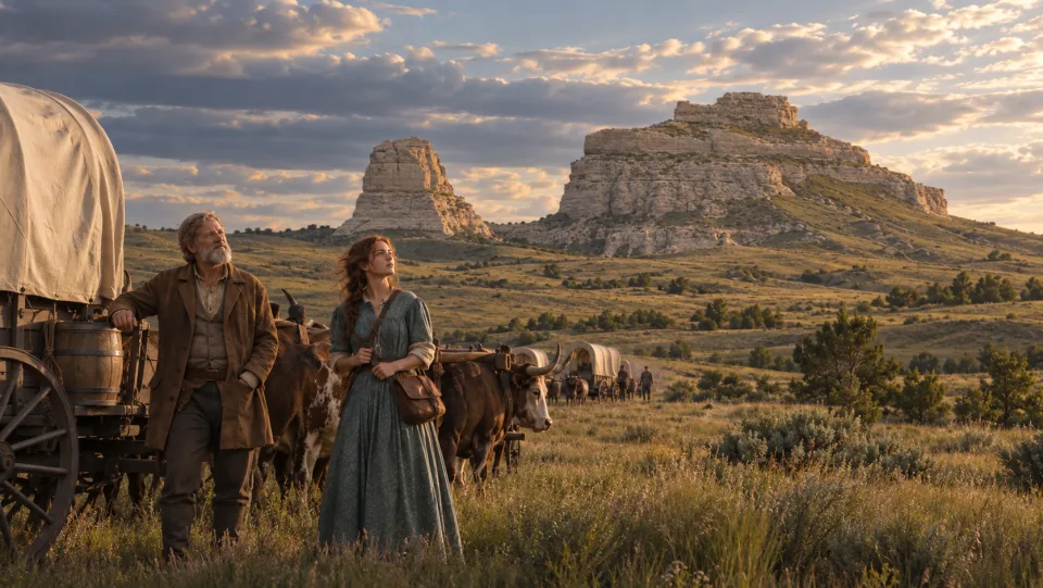
Courthouse Rock
An immense formation resembling a fortress rose above the prairie beside the emigrant corridor.
-
 1 song
Rock landmark
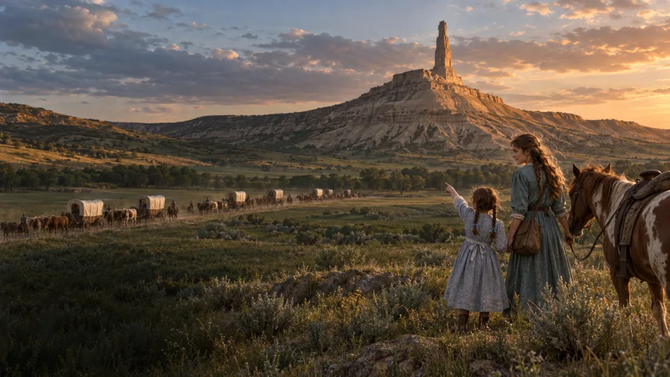
Chimney Rock
The solitary stone spire announced the travelers’ passage into a different landscape.
-
Bluffs and pass
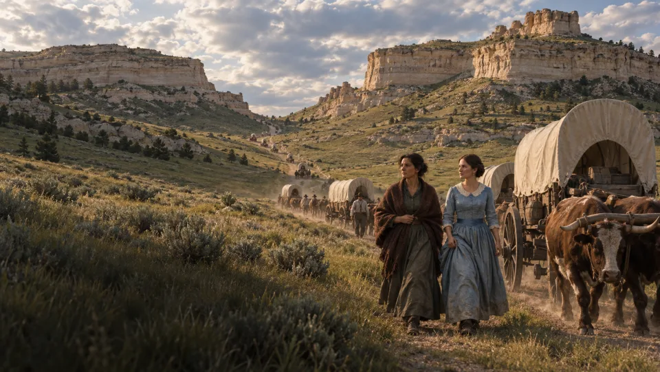
Scotts Bluff and Robidoux Pass
The 1846 wagons took Robidoux Pass south of Scotts Bluff, before the later Mitchell Pass route opened.
-
 3 songs
Trading post
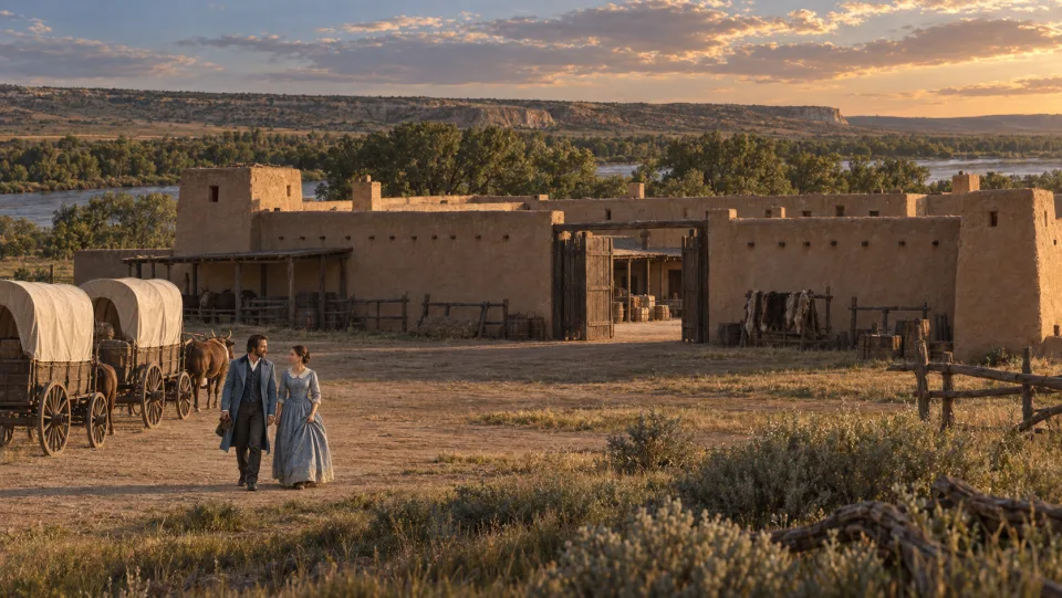
Fort Laramie
An adobe fur-trading post offered supplies, conversation, and warnings about the journey ahead. It was not yet a U.S. Army fort.
-
Granite landmark
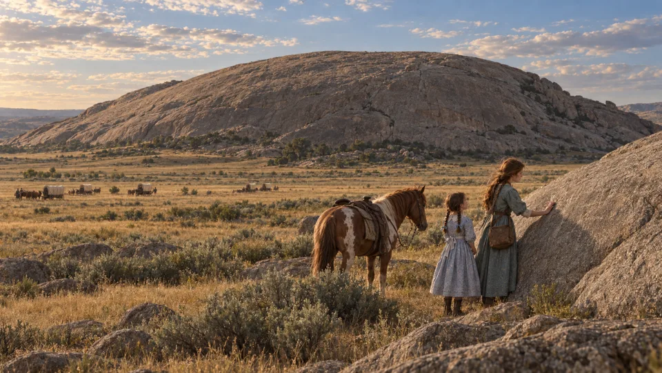
Independence Rock
A great granite landmark associated with the names and passage of earlier travelers.
-
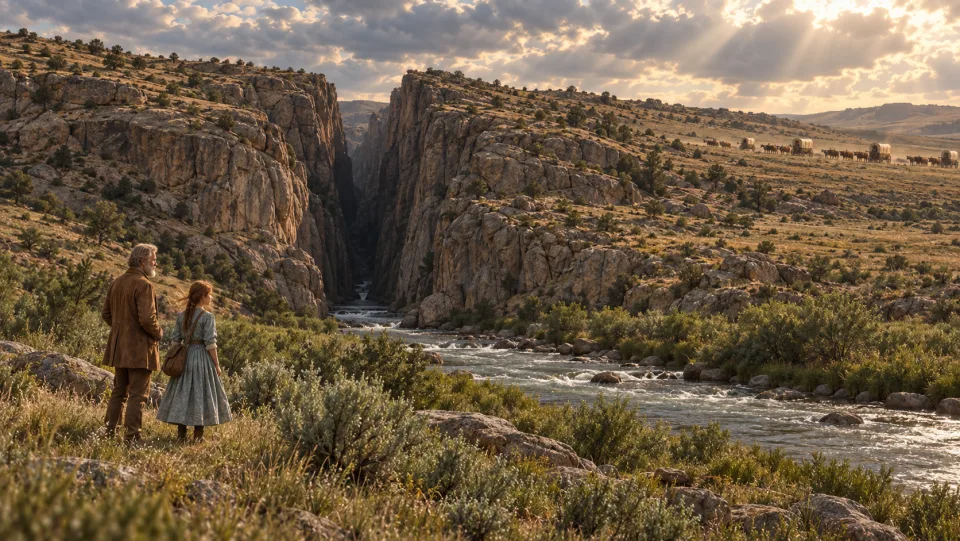
River gorge
Devil’s Gate
The Sweetwater cut a dramatic cleft through a ridge of rock beside the trail.
-
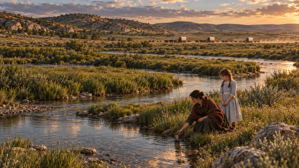
River landscape
The Sweetwater River
Water and grazing sustained the wagons through increasingly rugged country toward South Pass.
-
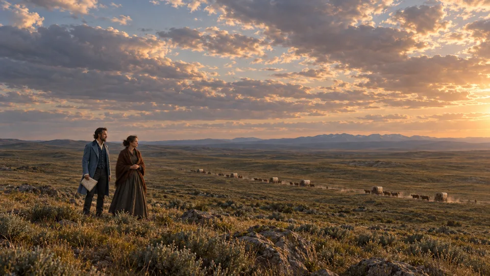
Continental Divide
South Pass
A broad crossing of the Continental Divide opened toward the Pacific watershed.
-
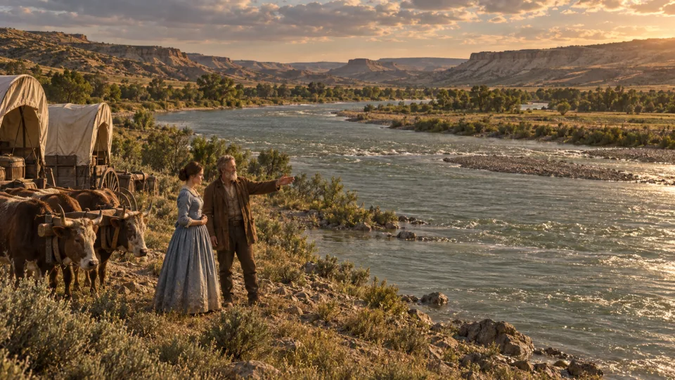
River crossing
The Green River Crossing
Another substantial river stood between the emigrants and Fort Bridger.
-
 3 songs
The decision
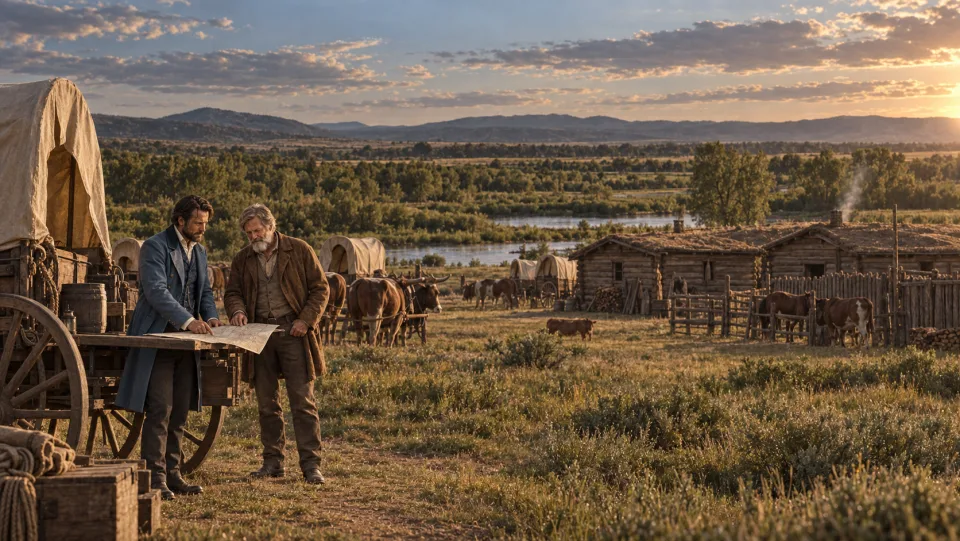
Fort Bridger
Here the party committed to the Hastings Cutoff instead of the established northern route through Fort Hall.
-
 1 song
Canyon
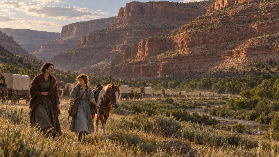
Echo Canyon
Striking rock walls framed the approach toward the Wasatch Mountains.
-
Road building
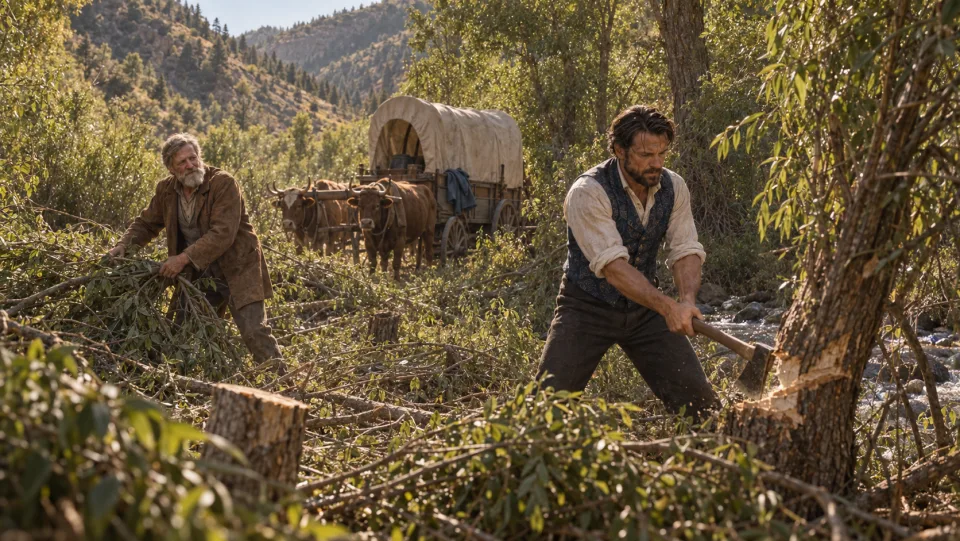
East Canyon
Brush and creek crossings forced the emigrants to cut a passage for their wagons.
-
Mountain crossing
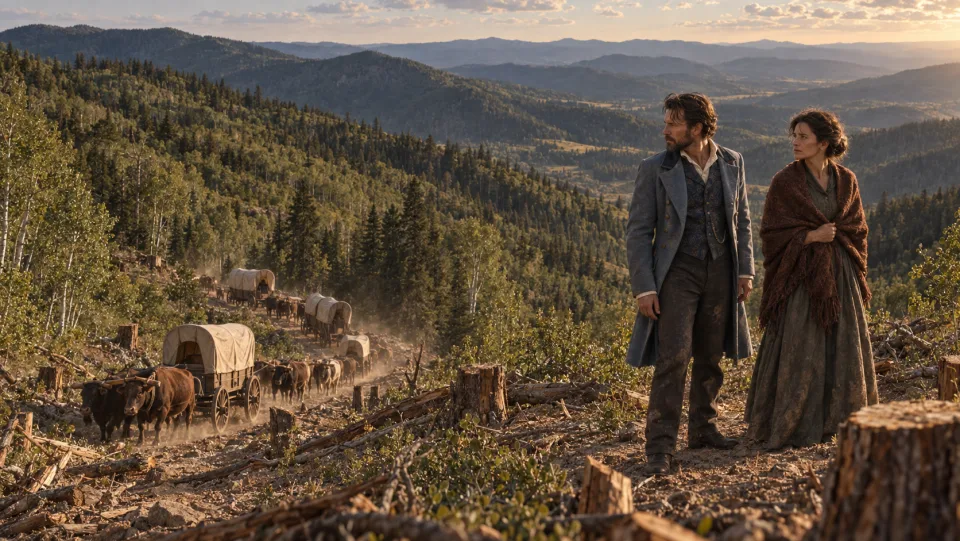
Reed’s Gap / Big Mountain Summit
Several days of road cutting opened the difficult mountain crossing and descent.
-
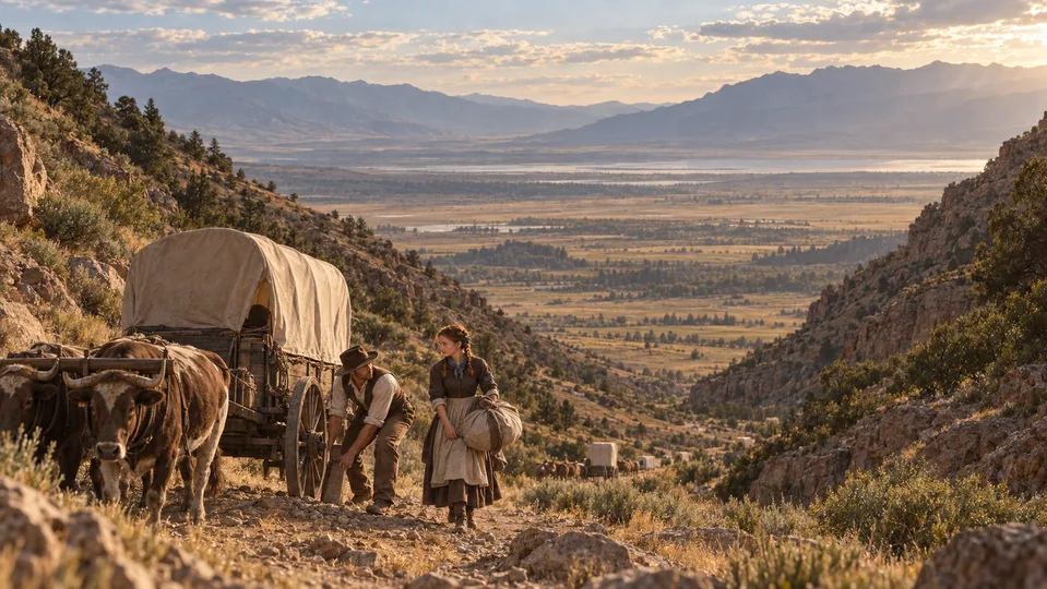
Canyon descent
Emigration Canyon
The emigrants worked their way down toward the Salt Lake Valley before a city stood below.
-
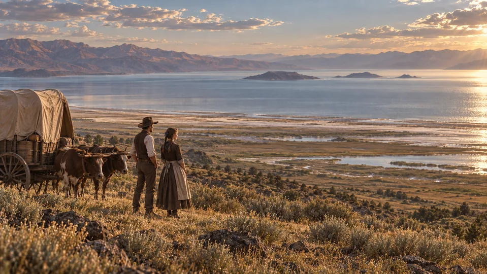
Lake landscape
The Great Salt Lake
An immense inland lake lay north of their route, bordered by mountains, marshes, and salt-stained shores.
-
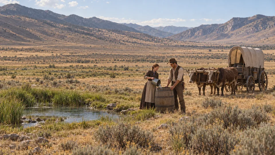
Water before the desert
Hope Wells in Skull Valley
Freshwater springs and grazing allowed the emigrants to prepare for the long dry crossing ahead.
-
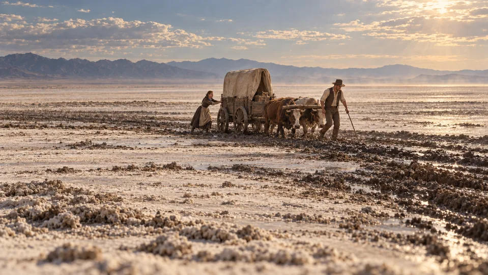 2 songs
Desert crossing
The Great Salt Lake Desert
Salt crust, mud, thirst, and exhausted teams turned the promised shortcut into a punishing crossing.
-
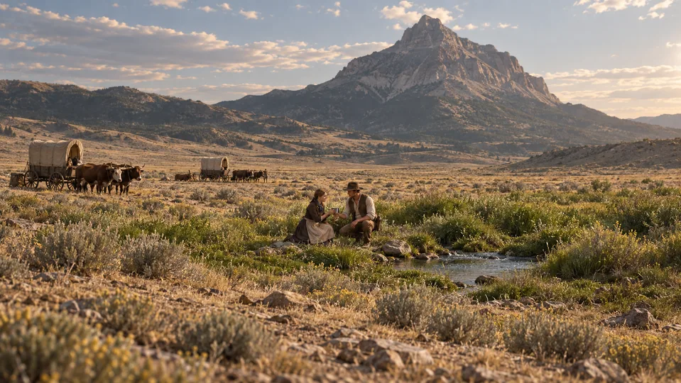
Desert refuge
Pilot Peak and Its Springs
Springs at the foot of Pilot Peak provided desperately needed water after the salt desert.
-
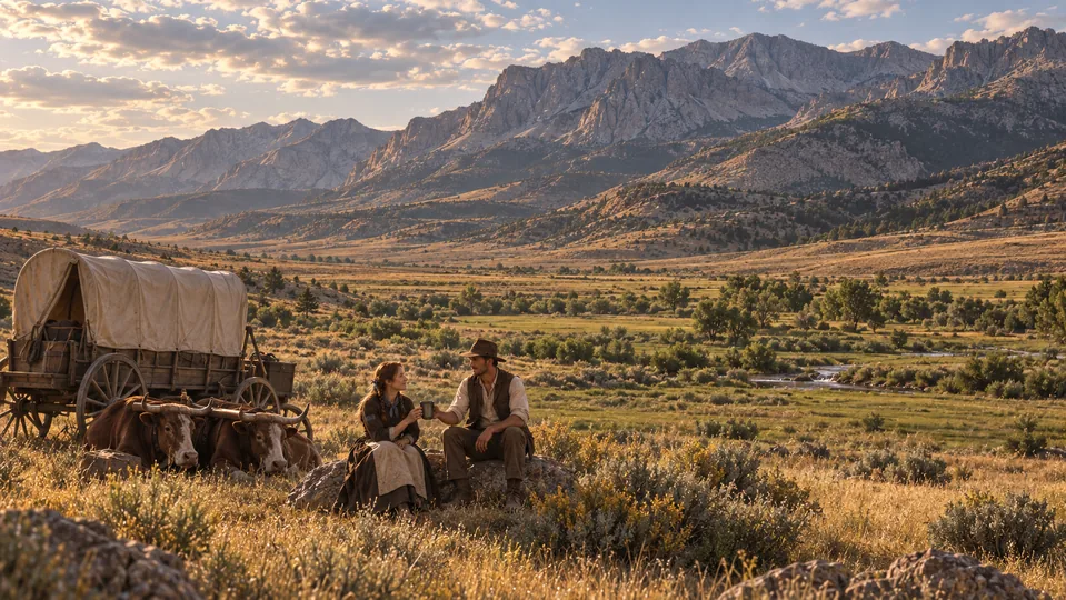
Valley detour
Ruby Valley
Springs and grass lay beneath a mountain range that forced a lengthy detour south.
-
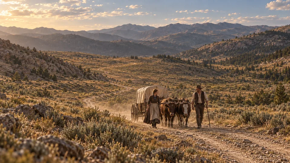
Mountain passage
Overland Pass
The wagons crossed the southern Ruby Mountains toward the Humboldt drainage.
-
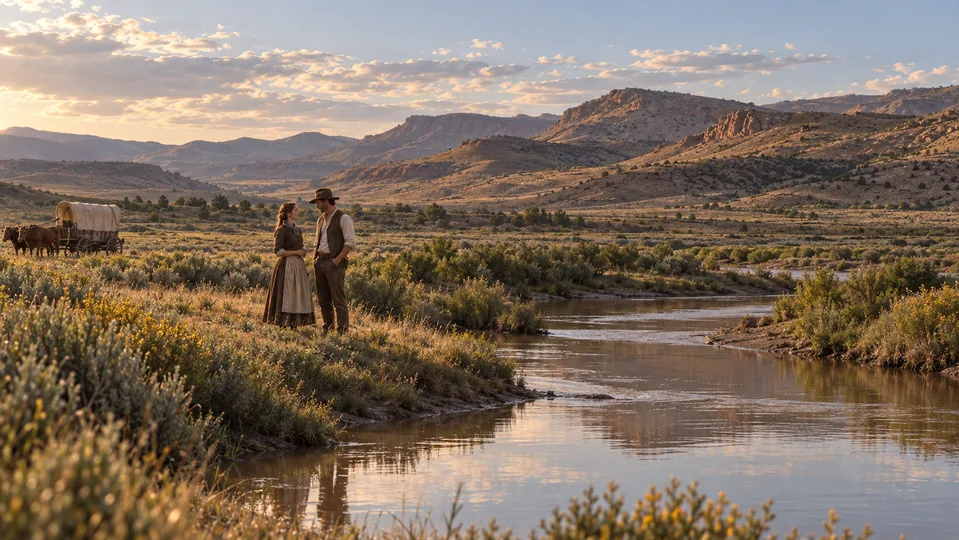 2 songs
Back on the established trail
The Humboldt River
The cutoff rejoined the established California corridor at the Humboldt River, then followed it west.
-
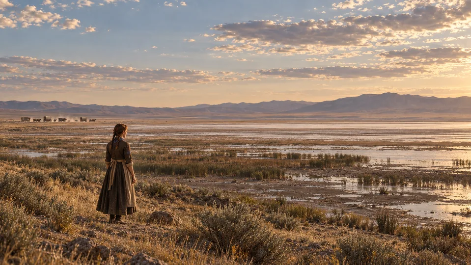
River’s end
The Humboldt Sink
The river disappeared into a basin, leaving another dry crossing ahead.
-
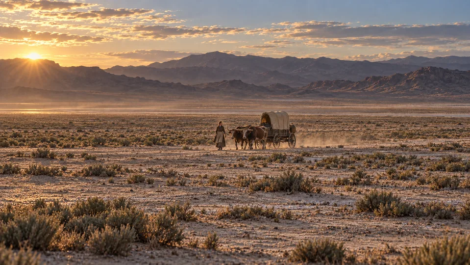
Desert crossing
The Forty-Mile Desert
The dry Truckee branch led from the Humboldt Sink toward water at the Truckee River.
-
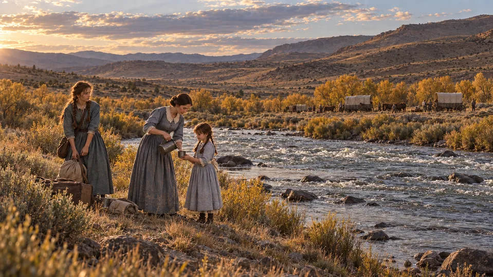
Water again
The Truckee River
The party reached flowing water and followed the river upstream toward the Sierra.
-
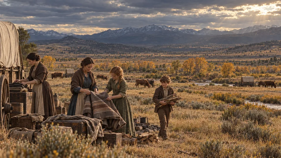 1 song
Grazing country
Truckee Meadows
Open meadows offered grazing beneath the mountains, where Reno would later grow.
-
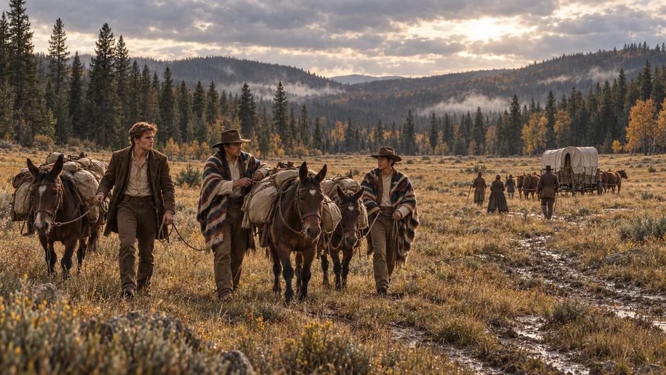
Sierra approach
Dog Valley
The wooded upland route carried the wagons from the Truckee corridor into the Sierra approaches.
-
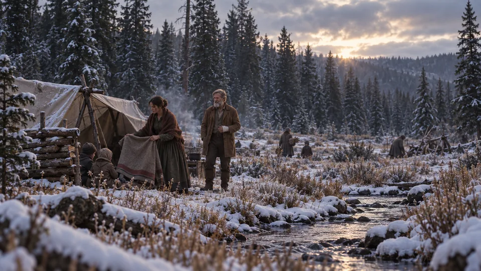
Donner family camp
Alder Creek
The Donner families became stranded here, separate from the lake camps, during the winter of 1846–47.
-
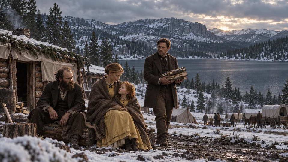 4 songs
Lake camps
Truckee Lake — Now Donner Lake
Forest, granite, and cold water surrounded the cabins that became winter shelters for much of the party.
-
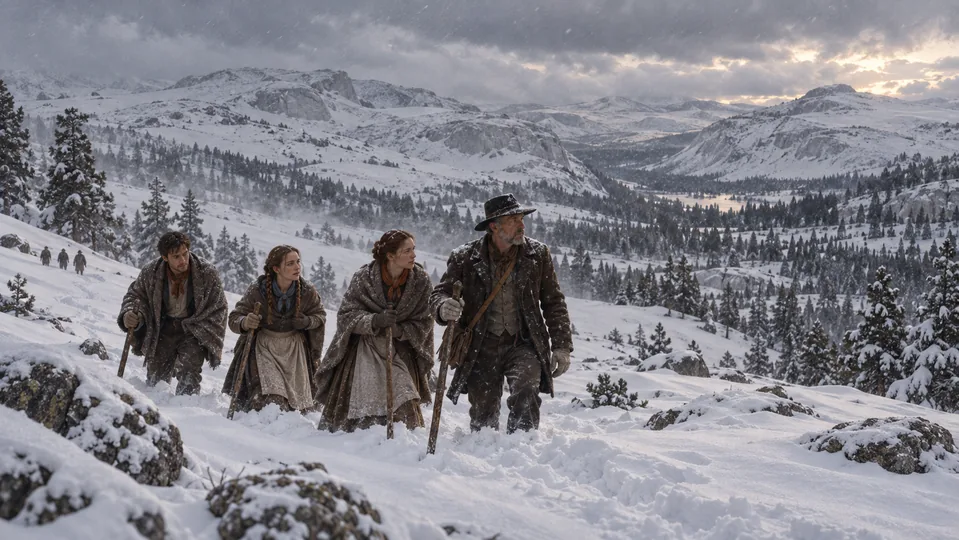 4 songs
The mountain barrier
The Snowbound Sierra Crest
The snowy crest above the lake stood between the trapped emigrants and the settlements to the west.
37–42 / THE WESTERN SIERRA
Back across the snow.
The relief corridor opens a second journey: rescuers climbing toward the camps, survivors coming down toward shelter.
-
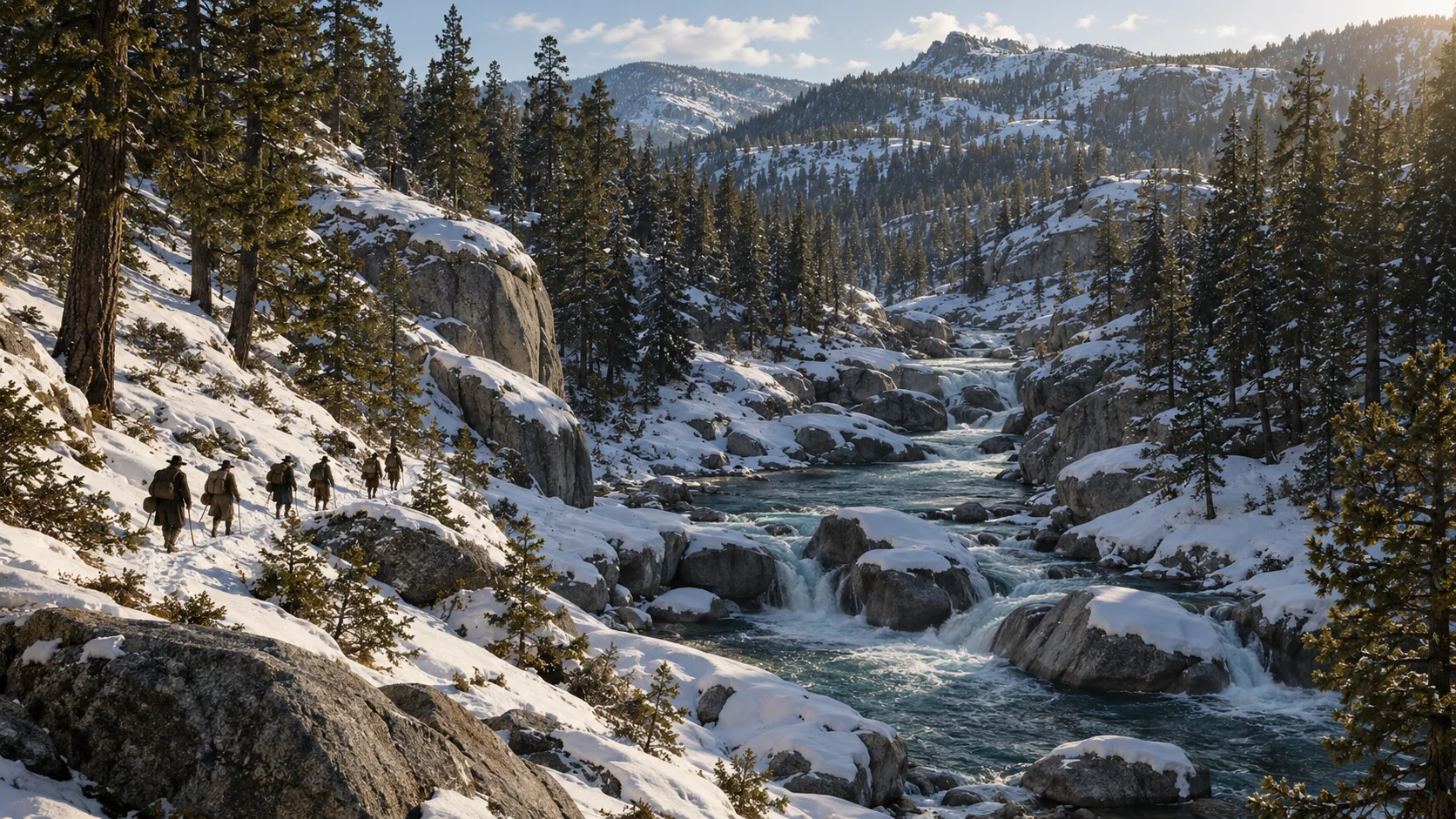
Relief corridor
The South Yuba River
The upper Yuba links the western slopes with the snowbound crest: difficult country crossed by rescuers and survivors.
-
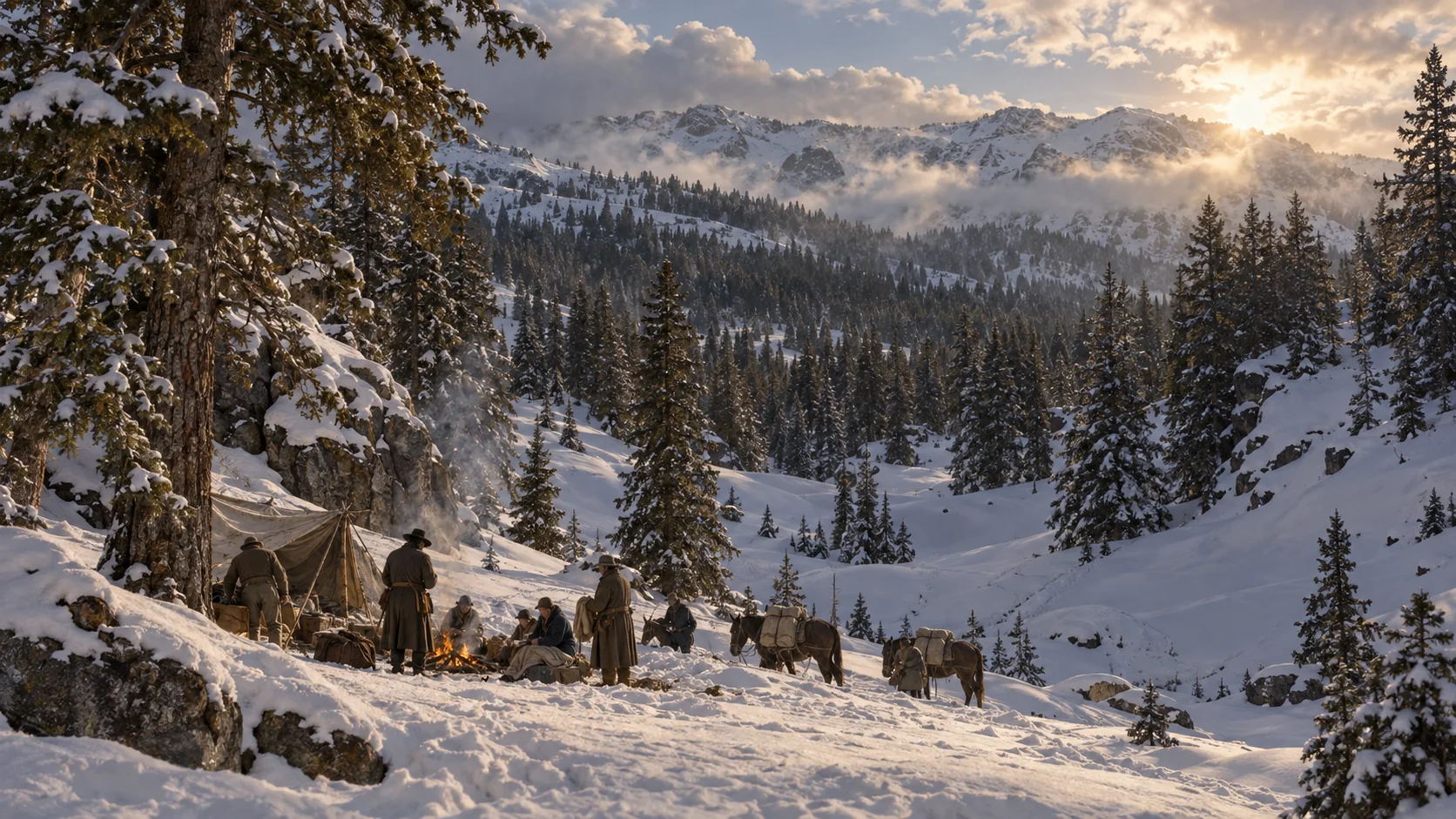
Storm & survival
Starved Camp
A storm overtook Reed’s returning relief party in March. Survivors sheltered in deep snow; John Stark later helped bring the stranded group out.
-
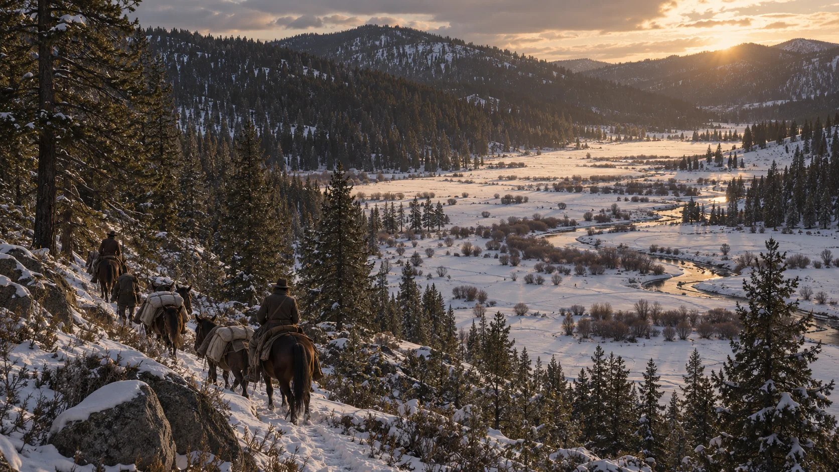
Reed’s journey & relief
Bear Valley
Reed met Stanton in Bear Valley while pushing west for help. This mountain valley later became part of the relief corridor.
-
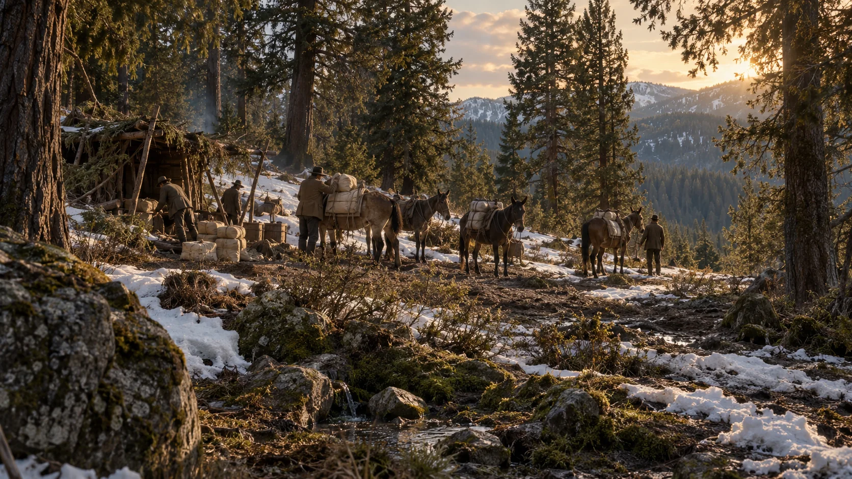
Relief staging ground
Mule Spring
At Mule Spring, deep snow stopped the pack animals. Supplies had to go forward on human backs toward the stranded families.
-
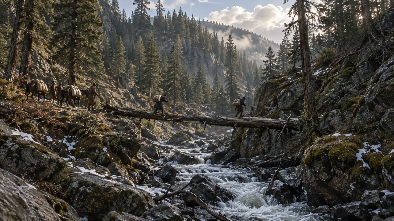
Relief crossing
Steephollow Crossing
Floodwater made the rescue journey dangerous even below the snow. Relief accounts describe carrying supplies across a felled tree.
-
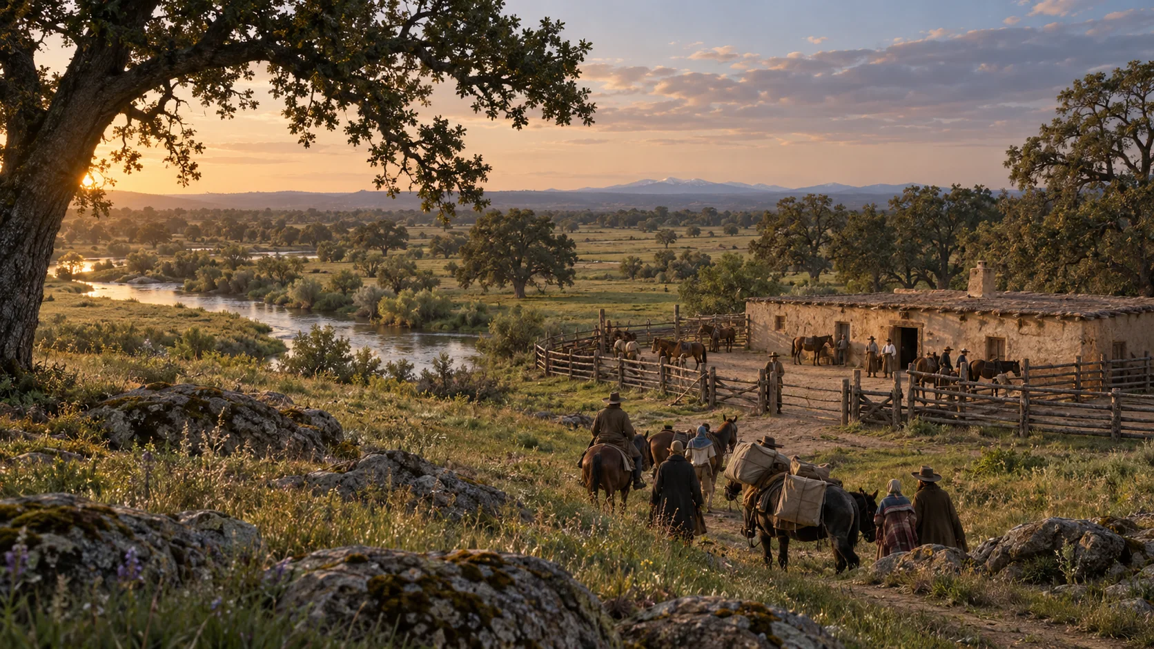
Refuge & relief base
Johnson’s Ranch
The ranch on the Bear River offered shelter at the western end of the emigrant trail. It became a base for the Donner relief expeditions.
43–47 / THE VALLEY & REED’S JOURNEY
A way to reach them.
Rivers, fort walls and rough hill roads connect Reed’s search for help with the California settlements.
-
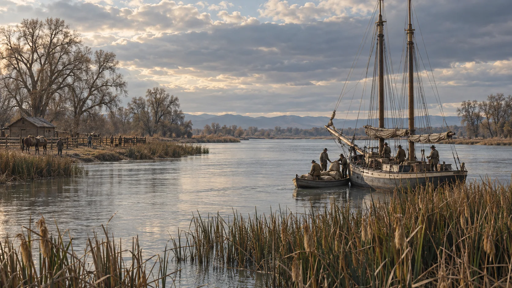
Rescue supply network
Feather River Rendezvous
Hardy’s Ranch near the Feather River mouth was designated as a rendezvous for provisions shipped from the Bay.
-
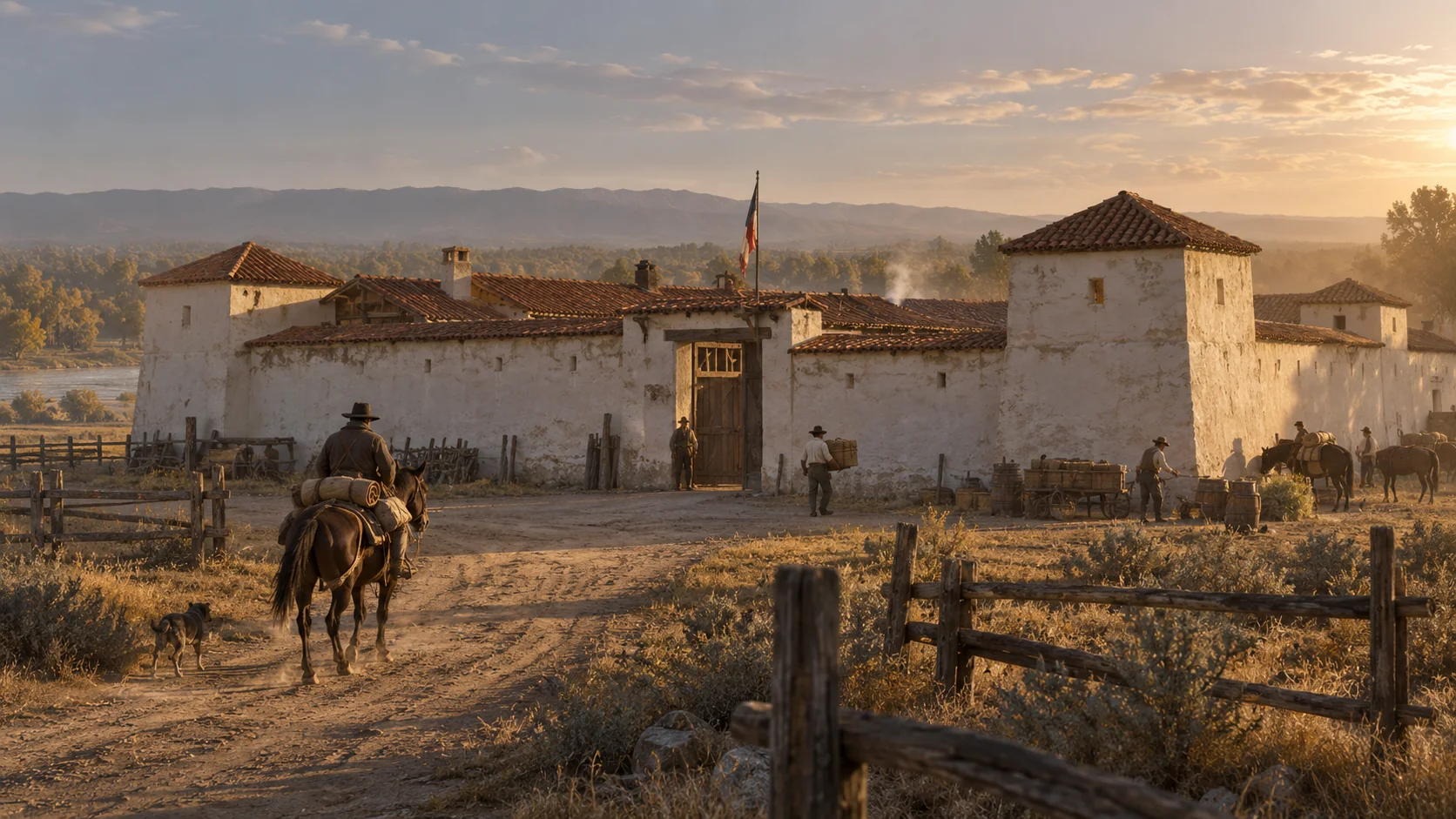 1 song
Reed’s appeal for help
Sutter’s Fort
Reed reached Sutter’s Fort ahead of his family in October 1846. Here he sought the food, animals and help needed to turn back toward the mountains.
-
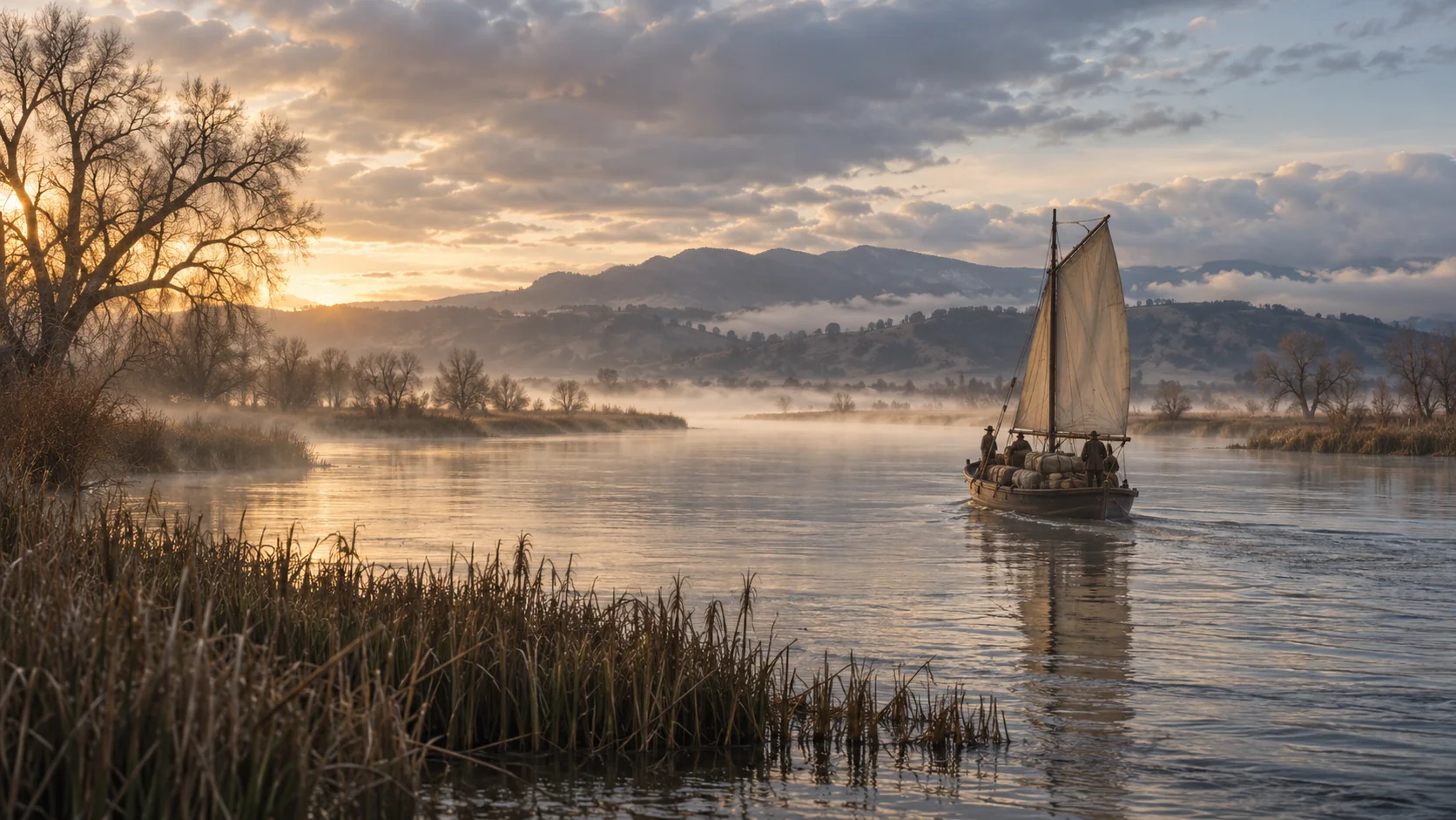
River transport
The Sacramento River
The Sacramento carried news and relief supplies between the inland settlements and San Francisco Bay.
-
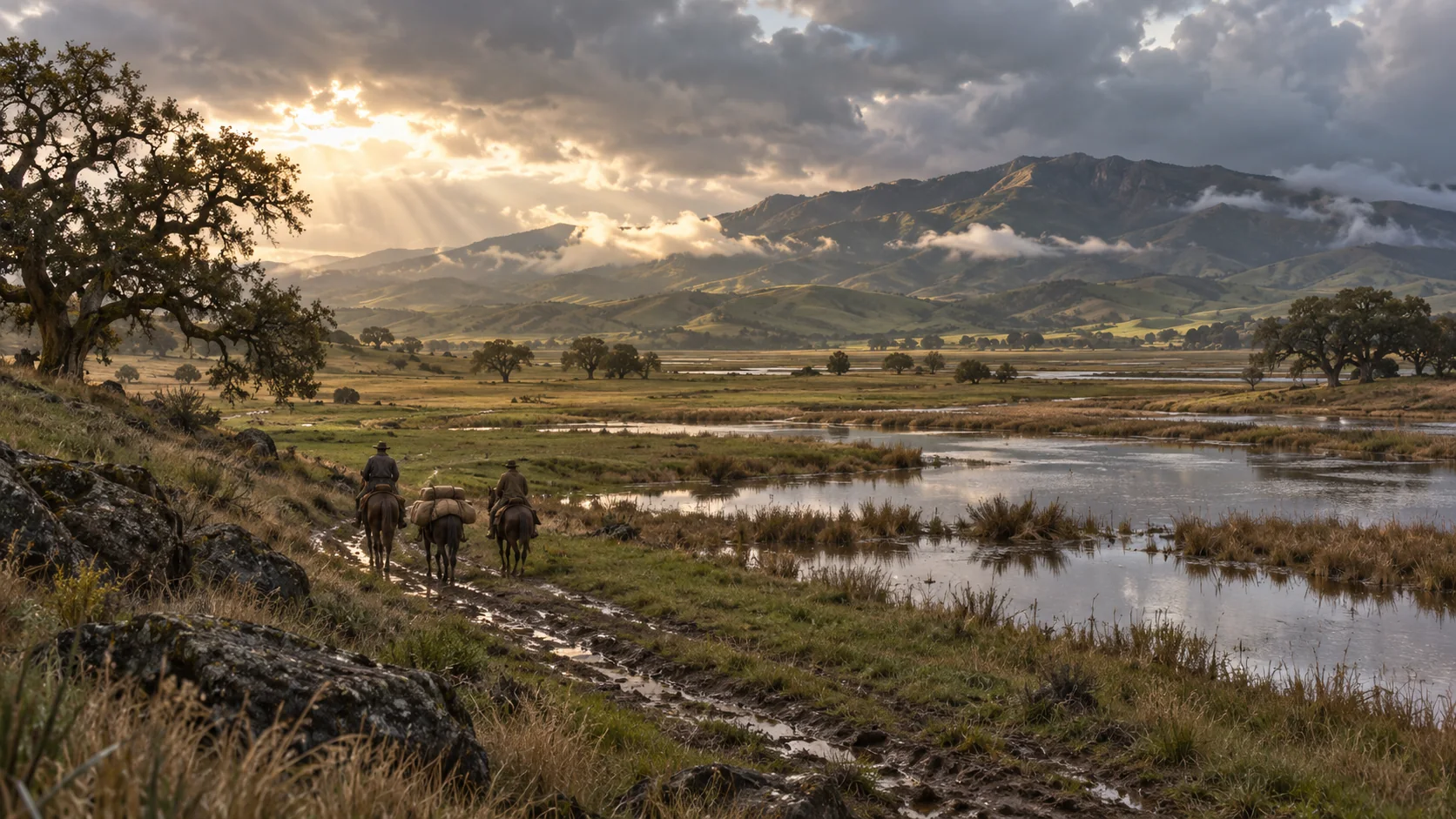
Reed’s southward journey
The San Joaquin Plain
With men and resources drawn into the war, Reed’s search for support took him south through San Joaquin country toward the Bay.
-
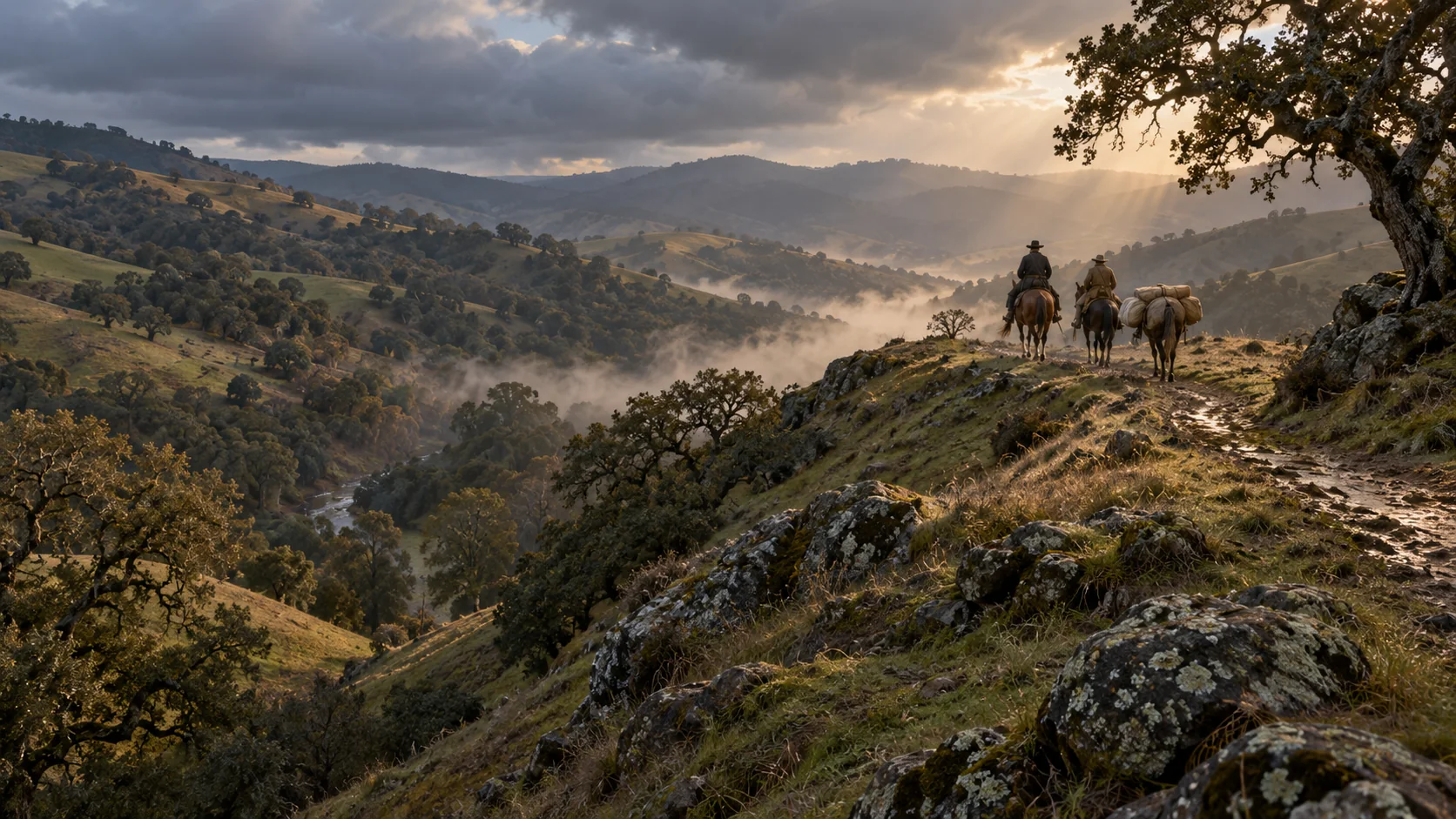
Reed’s southward journey
The Diablo Range
Oak hills and rough divides stood between the valley and the coastal settlements. Reed’s journey toward Yerba Buena passed through the Diablo Range.
48–51 / SAN JOSÉ & SANTA CLARA
A family waits. A war intervenes.
The mission, the pueblo and the battlefield belong to different places in a California being transformed by war.
-
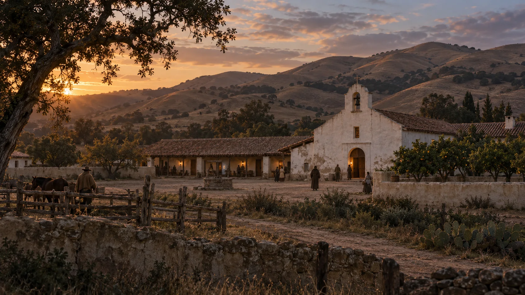
California story setting
Mission San José
The mission’s adobe world frames a California interlude in the story. Its church, courtyard and orchard offer a striking contrast to the mountain camps.
-
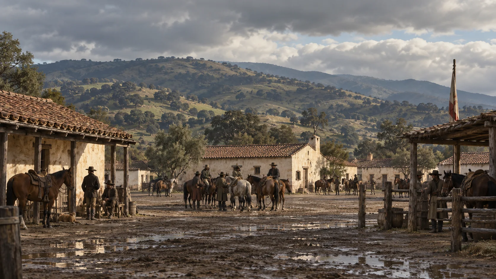
Reed & the wartime pueblo
Pueblo de San José
Reed’s November pass authorized travel to the Pueblo de San José. His search for help became entangled with military service and the Santa Clara campaign.
-
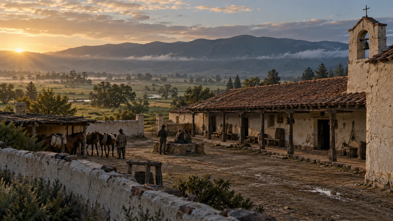
Santa Clara Valley
Mission Santa Clara
The mission anchors the Santa Clara landscape of the story: worn adobe, valley roads and a community caught in the upheaval of 1846–47.
-
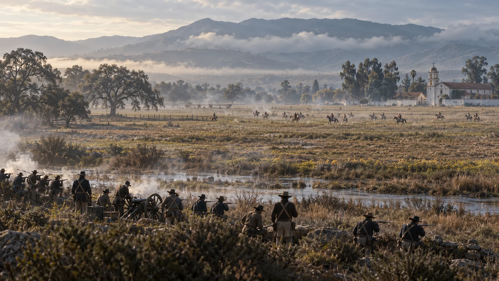
War delays the rescue
The Santa Clara Battlefield
Reed served in the Santa Clara campaign in January 1847 while his family remained trapped. The fighting forms a crucial interruption in his effort to reach them.
52–54 / SONOMA & NAPA
The means to go back.
After the Bay appeal, Reed’s return through Sonoma and Napa gathers horses, men and supplies for the second relief.
-
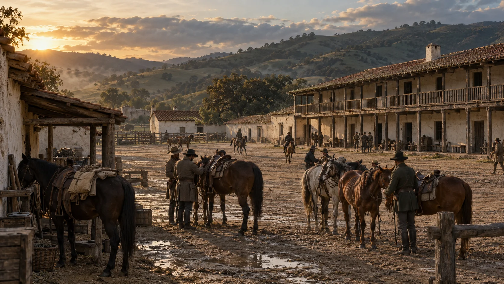
Gathering the second relief
Sonoma Plaza & Barracks
Reed reached Sonoma by launch and obtained government horses and equipment before continuing inland.
-
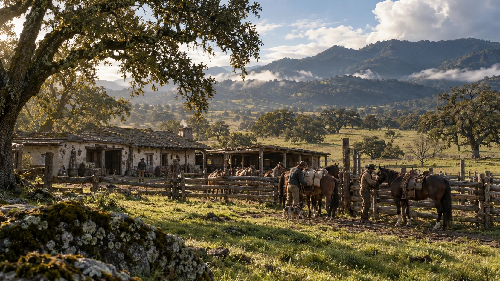
Napa Valley supply stop
Yount’s Ranch — Napa Valley
At George Yount’s ranch, Reed recruited more men and bought horses for the mountain expedition.
-
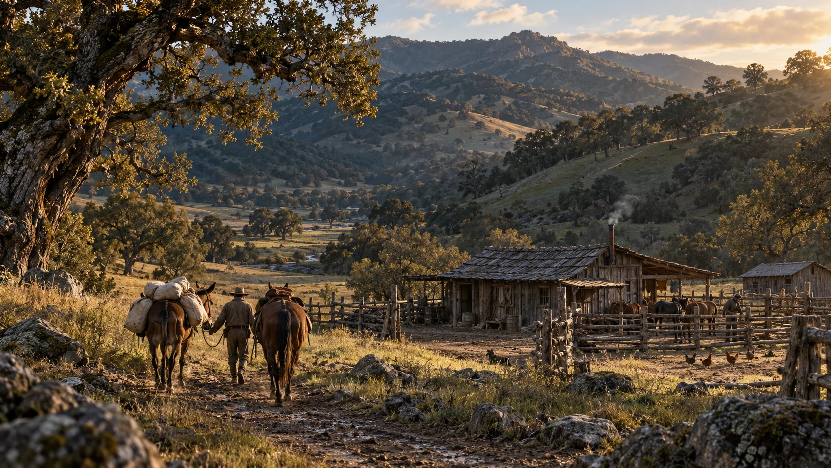
Napa Valley supply stop
Chiles’ Ranch
Reed’s diary records buying a horse, a mule and wagon covers for tents at Joseph Chiles’ ranch.
55–56 / YERBA BUENA · SAN FRANCISCO
The far shore answers.
A small port at the edge of the continent becomes part of the effort to bring the families out.
-
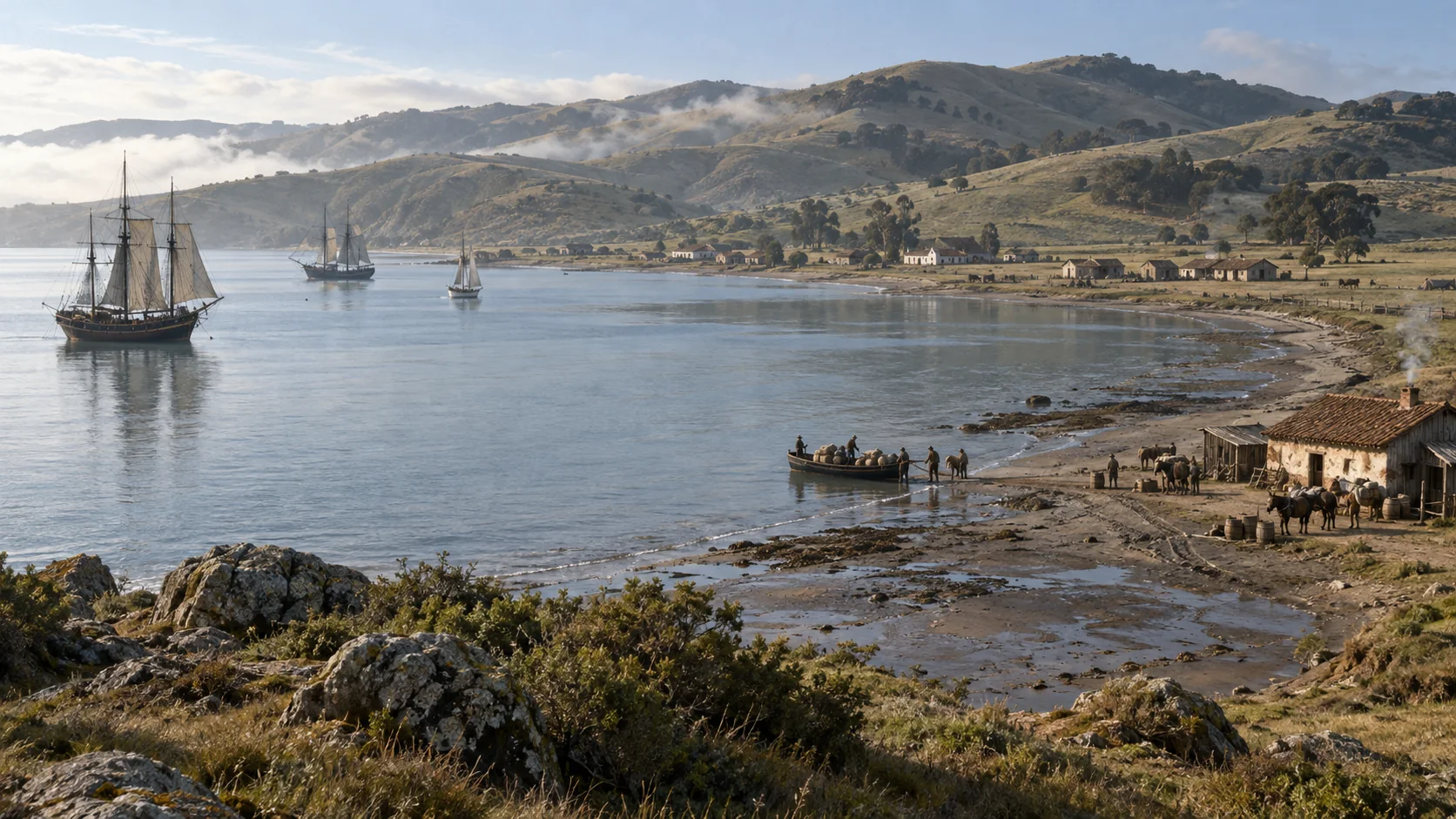
Bay departure point
Yerba Buena Cove
Before the Gold Rush transformed the waterfront, a small port faced Yerba Buena Cove. Boats connected the relief effort with the inland rivers and Sonoma.
-
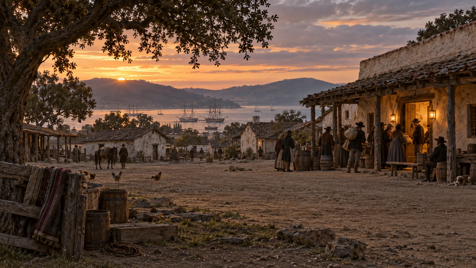 1 song
San Francisco’s relief appeal
Yerba Buena — San Francisco
Reed appealed for help in Yerba Buena, newly renamed San Francisco. Townspeople and sailors contributed toward rescue; the story gives that communal response its “Pass the Hat” moment.
Artwork from the One Warm Line storyworld. These imagined scenes accompany historical places and accounts. Places 37–56 follow the rescue corridor, Reed’s California journey and the supply network; they are grouped by story geography, not one continuous itinerary.